
Resources and Fees
The Archaeological Research Center has many resources available to researchers. This page serves as a general guide to what we have available online. Several documents are available in pdf format. Acrobat Reader, a pdf viewer, can be obtained free from Adobe.
Publications
Cultural Material Series
The Cultural Material Series is both a digital and physical series designed to provide information on specific material and artifact types commonly found with South Dakota. Two guides are currently available in the series. A third guide focusing exclusively on projectile points is forthcoming; however, no date is set. Field copies of series listed below are available for $20 each from the Archaeological Research Center. PDF version are available below as well.
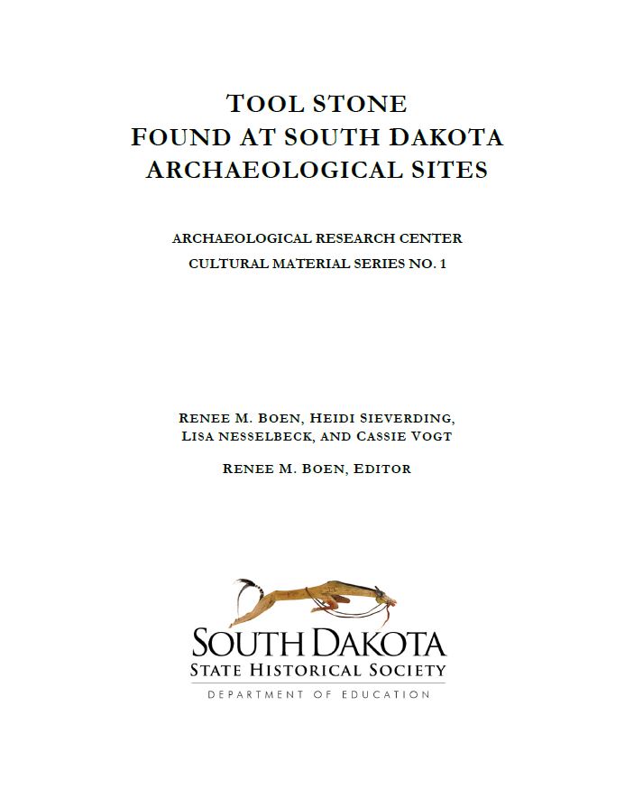
Tool Stone Found at South Dakota Archaeological Sites by Renee M Boen, Heidi Sieverding, Lisa Nesselbeck, and Cassie Vogt. No. 1 in the Cultural Material series focus on the wide variety of lithic material and tool stone found and utilized from archaeological sites of South Dakota including color ranges, quarries, grain size, cortex coloration, diagnostic aspects, fracture quality, and photographs of each discussed type. Available as a PDF file.
Identifying Chipped and Ground Stone Artifacts Found in South Dakota and Adjacent Regions by Renee M. Boen and Roger Williams. No. 2 in the Cultural Material Series focuses on providing a standardized framework for identifying and cataloguing chipped and ground stone artifacts. The guide offers over 60 photographs of various chipped and ground stone tools ranging from scrappers, gun flints, abraders, beads, celts, gaming pieces, and beyond. Available as a PDF file.
Special Publications in Archaeology
A Surface Collection from Northwestern South Dakota by Norman G. Flaigg. In his years growing up on a ranch in South Dakota, Norman Flaigg built up a sizeable collection of artifacts. Unlike many collectors, he carefully documented his collection. This report culminates a lifelong interest in the history of the land. It is available as a pdf file (5.27MB).
Excavations at the Winter Site and at Hartford Beach Village 1980-1981 (Second Edition) by James K. Haug. This report describes excavations at two sites in northeastern South Dakota. The Winter site is a multicomponent occupation on Coteau Lake. Hartford Beach Village is a fortified prehistoric site situated on the bluffs above Big Stone Lake. It is available as a pdf file (12.5MB).
Research Reports
Research Report No. 1 Mountain Meadow Sites in the Northern Black Hills
by: Linea Sundstrom, Renee Boen, Steve Keller, and Jane Watts (with an appendix by James E. Martin)
Published: 2002
Abstract: Mitigative data recovery efforts focused on three high-altitude meadow sites in the northern Black Hills, South Dakota. Site 39LA314 is an undated, high-density lithic knapping station. The site was devoted to the production of biface platforms and contained significant amounts of imported lithic raw material from areas to the west of the Black Hills. Site 39LA319 is a late Paleoindian (Plano) special activity site used for prehunt weapon preparation and posthunt tools manufacture and repair, secondary butchering, and hide working. Site 39LA117 contained two cultural horizons: an in situ hunt-related base camp with mixed Middle and Late Archaic components, and a redeposited late Paleoindian to Early Archaic cultural horizon representing a small, special activity site used for initial butchering. These sites are located on an older high terrace surface and within a lower, more recent terrace surface. A pre-Altithermal dry period and a mid-Altithermal wet period may be suggested by terrace formation in the project area.
Details: Softcover, xvi+289 pages. US$15.00. It is also available as a pdf file (27.2M).
To purchase, contact the Archaeological Research Center by emailing or by phone at 1-605-394-1936.
Research Report No. 2 The Blaine Site
by: Linea Sundstrom, Ned Hanenberger, James Donohue, Grant Smith, Michael McFaul, Karen Lynn Traugh, Bruce Potter, and Jane Watts
Published: 2008
Abstract: The Archaeological Research Center undertook mitigative excavations at the Blaine site, 39CU1144, in western Custer County, South Dakota. The site is in the Red Valley physiographic zone of the Black Hills. The site contained three components. Component A comprised four stone circle features (tipi rings) and two cairns exposed on the surface, as well as a small assemblage of lithic tools, ceramics, and lithic debitage on or near the surface. This component dates to the Late Prehistoric and late Late Archaic periods, based on diagnostic artifacts. It represents a few short-term transient camps at which hide working, tool repair, and general group maintenance activities took place. Component B dates to the Middle and Late Archaic periods, based on diagnostic artifacts and a series of radiocarbon dates. This component represents a residential camp at which biface reduction, tool repair, and group maintenance were primary activities. Component C dates to the Early Archaic period, based on two radiocarbon dates (6940 and 5870 B.P.). This component represents a periodically reoccupied residential camp at which the processing of fibrous material such as roots or wood, lithic tool production and repair, and group maintenance apparently were principal activities. Lithic materials suggest weak ties to the west (Powder River country) during the Late Prehistoric. Weak ties to the east (Missouri River) are indicated for the Late Archaic, while the Middle and Early Archaic components appear to represent wholly localized cultures. The site demonstrates that Early Archaic cultural material and Altithermal age depositional features are preserved in portions of the southwestern Black Hills. Terrace formation in the project area is hypothesized to correspond in part to a regional alluvial terrace sequence developed by Leopold and Miller (1954).
Details: This report is available as a pdf file (34.9M) only.
Research Report No. 3 The 1997-2001 Excavations at Fort Pierre Chouteau Volume 1: The Excavations
by: Mike Fosha
Published: 2010
Fort Pierre Chouteau was established in 1832 by the American Fur Company on the Missouri River near the center of what is now South Dakota. The fort served as one of the major trading posts in the region for more than 20 years. In 1855, it was purchased by the U.S. Army as part of General Harney's expedition to the Plains. Shortly after that it was abandoned, and its dismantled parts were sent downriver to the newly established Fort Randall. The area around the fort languished almost forgotten until the 1980s when a team of volunteers under the direction of Steven Ruple of the S.D. State Historical Preservation Center conducted exploratory excavations. In 1997, teams of archaeologists and volunteers, under the overall direction of Michael Fosha of the South Dakota State Historical Society, returned for 5 summer excavation sessions. Their efforts were focused on determining how much of the fort had survived a century and a half of flooding and agriculture and to map its extent. This report details the results of the field work.
Details: This report is available as a pdf file (35.2M) for the time being.
Research Report No. 3 The 1997-2001 Excavations at Fort Pierre Chouteau Volume 2: Material Culture
edited by: Michael Fosha and James K. Haug
Published: 2010
Many thousands of artifacts were collected by the archaeologists who excavated at Fort Pierre Chouteau over several seasons. These were broken down into several categories for the purpose of analysis; each set was turned over to a specialist for detailed examination and description. Their reports are collected in this volume, including chapters on trade beads, firearms, buttons and fasteners, glassware, nails and hardware, ceramic pipes, pre-fort artifacts, and toothpicks.
Details: This report is available as a pdf file (53.7M) for the time being.
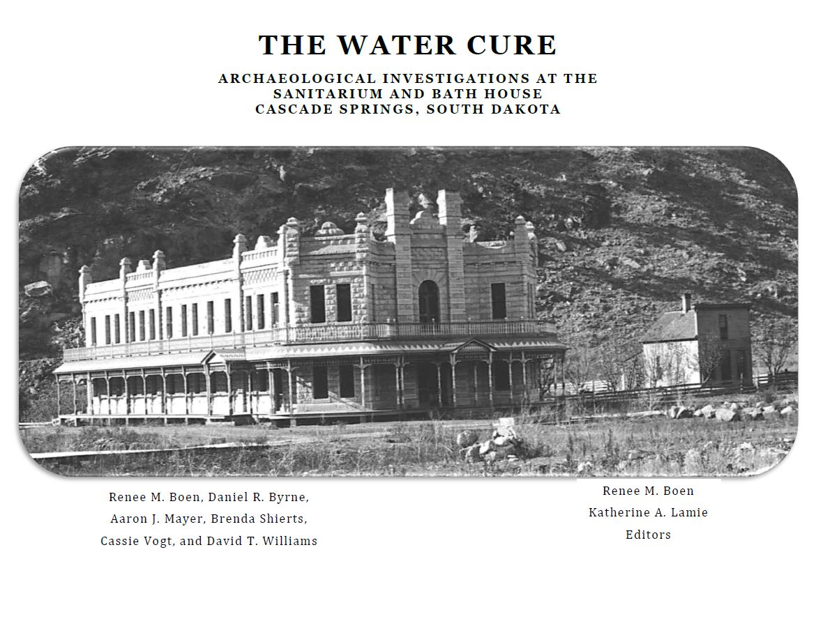
Research Report No. 4 The Water Cure: Archaeological Investigations at the Sanitarium and Bath House Casade Springs, South Dakota
By: Renee M. Boen, Daniel R. Byrne, Aaron J. Mayer, Brenda Shierts, Cassie Vogt, and David T. Williams
Published: 2020
This report presents and account of the archaeological excavations at the Sanitarium and Bath House and the historic research of the property. The report is presented in three major parts. Settling the Southern Black Hills examines homesteading along Cascade Creek and the growth of the town of Hot Springs. Carlsbad Spring Company explores the syndication of the company, the rapid growth of the Cascade Springs townsite, and the company's premature demise. Archaeological Excavations addresses the construction, use, and final demolition of the Sanitarium and Bath House. Then and Now compares photographs taken in the 1970s and 2019 to early photogarphs of Cascade Springs and Hot Springs to compare the two Black Hills resort towns with similar beginnings but drastically different endings.
Educational Series in Archaeology
No. 1: Archaeology, Studying the Past for the Future
No. 2: The First South Dakotans
No. 3: Archaic Foragers
No. 4: Woodland Villagers
No. 5: Initial Middle Missouri Gardeners: Great Oasis
No. 6: Initial Middle Missouri Gardeners: Innovations and Migrations
No. 7: Central Plains Tradition Immigrants
No. 8: Initial Coalescent: A Blending of Cultures
No. 9: Developing the Cultural Mosaic: 1400–1700 A.D.
Young People's Guide to South Dakota Archaeology
Report Submission Requirements and Repository Guidelines
Many researchers and institutions make use of the Center's repository to store collections and records. The Center staff has prepared Requirements for Submitting a Collection to the State Archaeological Research Center. It contains useful information on artifact conservation, cataloging, storage, and recordation methods. For additional questions about processing collections or receiving an accession number for your collection, contact Katie Lamie.
Traditional Cultural Properties Site Form
The Archaeological Research Center (Center) is no longer processing completed Traditional Cultural Property (TCP) site forms, or assigning site numbers to TCPs. The form is still available below for use as contractors and cultural resources investigators see appropriate. Questions regarding the documentation of TCPs on Tribal lands in South Dakota should be directed to the appropriate Tribal Historic Preservation Office or to the State Historic Preservation Office to ensure the TCP forms and associated data are submitted to their standards as part of the review and compliance process.
- State's TCP site form. (TCP Site Form Guide located here);
- Excel spreadsheet; and,
- Geodatabase schema for TCP locations.
South Dakota State Plan for Archaeological Resources
Fees for Data Access and Services
- - Box storage fees. Fees to store artifact collections remains unchanged. These are based on cubic feet. Processing fees to handle incompletely prepared collections have gone up.
- Collection maintenance fee. There is now an annual collection maintenance fee, based on cubic feet of storage.
- Curation agreements. There is now a fee to set up a curation agreement with the Archaeological Research Center.
- Loan processing. A set of rates was established to process collection loans.
- Archaeological permits. A new fee was set up to obtain an archaeological permit under the requirements of SDCL 1-20 or SDCL 34-27.
- ARMS database fees. A user fee was established to allow clients access to data housed at the Archaeological Research Center. This fee allows users to use in-house databases, records, GIS resources, and the online ARMS database. Users must fill out a user agreement to accompany the application for an account.
- Record searches. The fee for staff members to conduct records searches for clients was adjusted.
- Other staff assistance. The hourly fee for other staff assistance was adjusted.
- Other fees. Fees were added or adjusted for providing hard copy maps or storage media.
Details on the fee structure are available from regulations posted by the legislature.
Permits
ARC now offers an online permit application and payment portal available here
Site Form and Catalog Software
SOUTH DAKOTA FIELD SITE FORM AND GUIDE
The Guide for Completing a South Dakota Field Site Form is the Site Form Manual used to record or update archaeological site information. It is available for download as a pdf file.
The most current, official South Dakota Field Site Form must be filled out and submitted to the Archaeological Research Center (ARC) in order to request a new site number, document a site revisit, or update an existing site record. The site form is available digitally as either a 1) Fillable PDF or 2) MS Access Utility.
Please understand that the ARC will not accept forms created by other states, agencies, institutions, or companies, even if these are based on the official site form. It is the intent of the ARC to provide two user-friendly digital site form options, both of which are specifically designed to allow ARC staff to efficiently enter site form datasets into the master Archaeological Resources Management System (ARMS) Database. In particular, the ARMS Database includes inherent constraints related to text field options, measurement units, and other formatting considerations. These constraints are meant to standardize data entry by providing a baseline of consistent terminology, which in turn facilitates more meaningful data management and site research efforts. We aim to process site forms within one week (five working days) upon receipt of the form by the Records Archaeologist. Large batches submitted at once may require additional time and the submitter will be notified when this situation arises.
With that said, the first two pages of the digital site form are specifically required. The mapping insert template (page 3) and the template for the continuation form are provided as a courtesy only and are not required for submission, although a site form map must be submitted per the requirements in the Site Form Manual.
The Fillable PDF version of the site form is available in three formats depending on your needs:
Site Form
Site Form with Continuation Sheet
Continuation Sheet
The continuation sheets should be used if the comments/site description or evaluation/collection methods text boxes reach their character limit. The continuation sheet is available on its own and as already integrated with the original portions of the site form.
You can save your fillable version of the PDF form as is. However, if you need to compile multiple site forms into one document, you must convert the PDF form from fillable to non-fillable. To do this, select print, change your printer to "Adobe PDF", and click Print. This will prompt you to save the new file as a non-fillable/read-only PDF. This will allow you to compile multiple site file forms into one document without the site number text box automatically filling to the first page's site number.
The site form is available in a MS Access Utility format below (right click and select 'save as...' or its equivalent, then unzip the downloaded file if necessary):
Note: There have been problems with the Access versions of the site form software with the recent release of Windows 7 and MS Access 2010. Most notably, attempting to save a site form print preview as a Word document will terminate MS Access 2010 without warning (saving as a pdf file will work, though). Until these issues are resolved, be aware that you download and use these files at your own risk.
The Center has also created a Site Boundary Modification Form, to be completed when a site boundary is enlarged, reduced, or the location of the site is moved. This form is required for projects on state or private lands, but is optional for modified site boundaries on Federal or Tribal lands. You can download a pdf of the form here.
CATALOGING SOFTWARE
Artifact collections at the Archaeological Research Center are cataloged using the HACS (Hierarchical Artifact Catalog System) utility. The catalog software is available in several formats (download by right clicking and selecting 'save as...' or its equivalent, then unzip the file if necessary):
MS Office 2010 and Windows 7 or later
Before you use it, be sure to clear the 'read only' box in the file properties. Read the instructions.
If the cataloging is being done for submission to the ARC repository, each set of data created by the utility should be named for the accession number (e.g. '99-0133.mdb', '03-0023.mdb'). Needless to say, only one accession should be used per file. The HACS program stores each catalog as a separate database. It is able to open any older HACS catalog file or create new ones as needed.
Photos may be cataloged using the Photo utility, a database in MS Access 2000 format. Just right click and select 'save as...' or its equivalent. Unzip the downloaded file.
NOTES ON DOWNLOADING THE SOFTWARE
As noted above, the zipped MS Access applications can be downloaded by right-clicking on the link and selecting "save target as..." or "save link as..." or whatever your browser presents you with. Doing so will present you with a window where you choose where to save the file. Usually the default download directory is fine just be sure you know where it is. After the zip file is saved, open the folder where you put it. Right-click on it and see if you have an "Extract All..." option. If so, select that. It will create a folder with the same name as the zip file; inside that you'll find the unzipped version of the MS Access application. The other method is simply to double-click the zipped file, which will open a window showing the unzipped file. Just drag that to wherever you want to place the file.
As a final step, right-click on the MS Access application and select "properties." Make sure that the little box labeled "Read-only" is not checked.
Historic Preservation Office Guidelines
The Archaeological Regions map